12 Inches Of Snow Possible For Parts Of New York
The winter weather is on the way to parts of New York over the next several days.
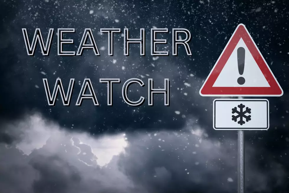
A winter storm watch has been issued for many counties and towns that are along Lake Erie and Lake Ontario and based on the projected snow totals, there will be a lot of snow to shovel when it is all said and done.
The majority of the heavy snowfall will be in the Southern Tier and along Tug Hill. A lot of the towns in the traditional lake effect snow belts will also get a couple of inches of snow during this storm.
Feel Good Mornings With Dave Fields Mon-Fri 6am-10am
The National Weather Service has issued the Winter Storm Watch for several different counties in New York including Oswego, Jefferson, Lewis, Wyoming, Chautauqua, Cattaraugus, and Southern Erie.
Each one of those counties could see substantial Lake Effect snowfall over the next 72 hours. The National Weather Service is predicting over a half foot of snow is possible.
Heavy lake effect snow possible. Total snow accumulations
  of 7 inches or more possible in the most persistent lake snows.
  Winds could gust as high as 40 mph causing blowing and drifting
  snow.

Gusty winds could end up causing some travel hazards as well between Sunday evening and Tuesday night. Be careful if you have to travel.
Historic Buffalo Blizzard
Gallery Credit: Dave Fields
5 Snowiest Days In New York State History
Gallery Credit: Dave fields
Historic Snow Storm Hits Buffalo
Gallery Credit: Dave fields
More From The New 96.1 WTSS