First Measurable Snow Of The Season Hits New York
It looks like Winter has come early this year to New York State.
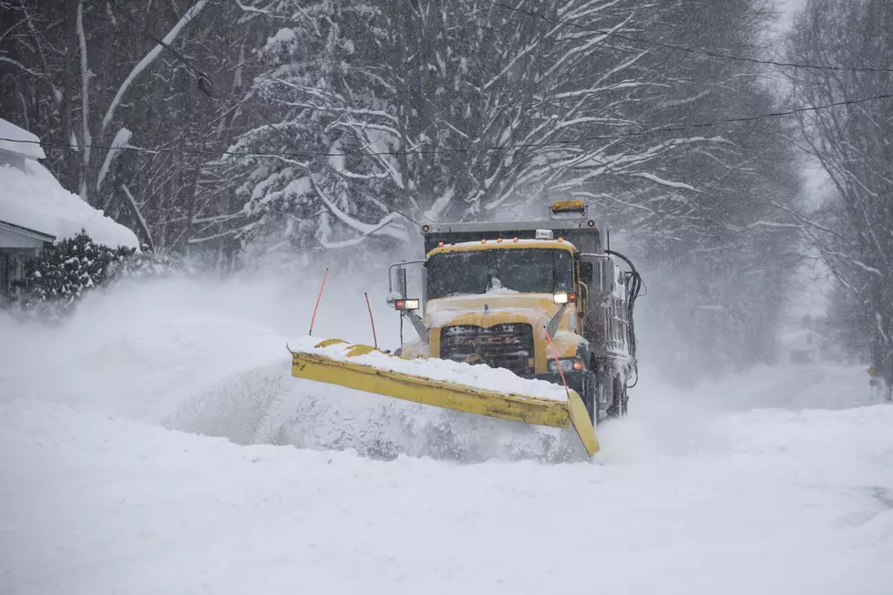
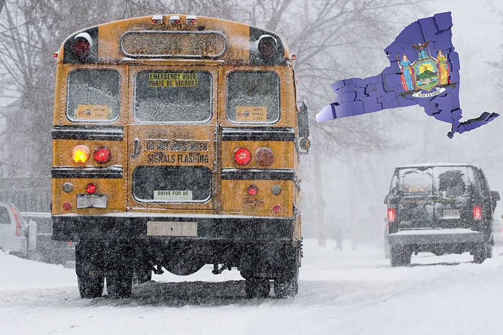
A massive arctic blast from the Canadian Northwest brought the first measurable snow of the season to New York State.
Measurable snow is defined by the National Weather Service as 0.1 inch or more in a 24 hour period.
READ MORE: HERE IS WHAT THE FARMER'S ALMANAC IS PREDICTING FOR WINTER IN WESTERN NEW YORK
Most of the snow that stuck is in the Northern central part of the state which was in the direct path of the snow storm that swept across the region.
More snow is possible tonight into Wednesday across the state. The arrival of the measurable snow is a bit early this year than in years past.
READ MORE: THIS NEW YORK TOWN COULD BE THE EPICENTER OF MASSIVE BLIZZARD THIS WINTER
Here is a look at the average dates the first measurable snow hits areas across New York State.
Buffalo - November 8th
Rochester - November 8th
Syracuse - November 6th
Binghamton - November 6th
Albany - November 16th
New York City - December 14th
Feel Good Mornings With Dave Fields
The good news is that a massive warm-up is heading our way. A big warm front is set to move into the region starting on Thursday.

This weather front will bring plenty of sunshine with above average temperatures with a chance to hit 70 next week.
5 Snowiest Days In New York State History
Gallery Credit: Dave fields
Historic Snow Storm Hits Buffalo
Gallery Credit: Dave fields
Snowblower Etiquette Every New York Should Know
Gallery Credit: Dave Fields
More From The New 96.1 WTSS


