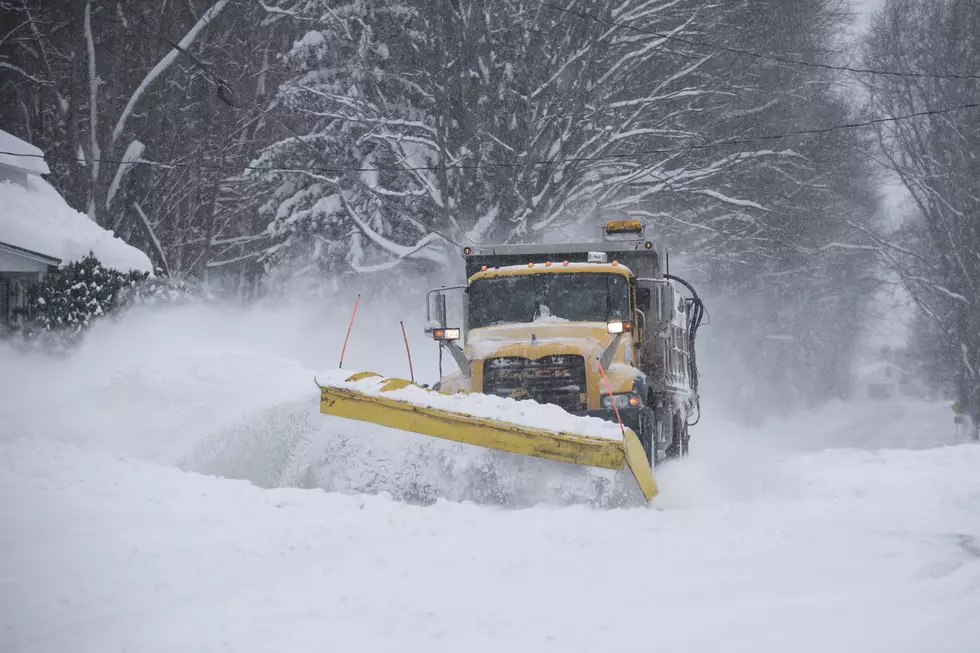
Over 20+ Inches Of Snow Possible In New York
Another massive lake effect snow event is possible this week across New York and that could drop a couple of feet of snow to parts of New York.
A Lake Effect snow warning has been issued for several parts of New York that are located near Lake Erie and Lake Ontario.
The National Weather Service has issued a "Lake Effect Snow Warning" for Wyoming, Chautauqua, Cattaraugus, Southern Erie, Oswego, Jefferson, and Lewis counties.
READ MORE: THIS NEW YORK TOWN COULD BE THE EPICENTER OF A MASSIVE BLIZZARD THIS WINTER
The "Lake Effect Snow Warning" is is place starting Monday afternoon and will last until Wednesday after. With-in those 48 hours, over two feet of lake effect snow is possible or the areas under the warning.
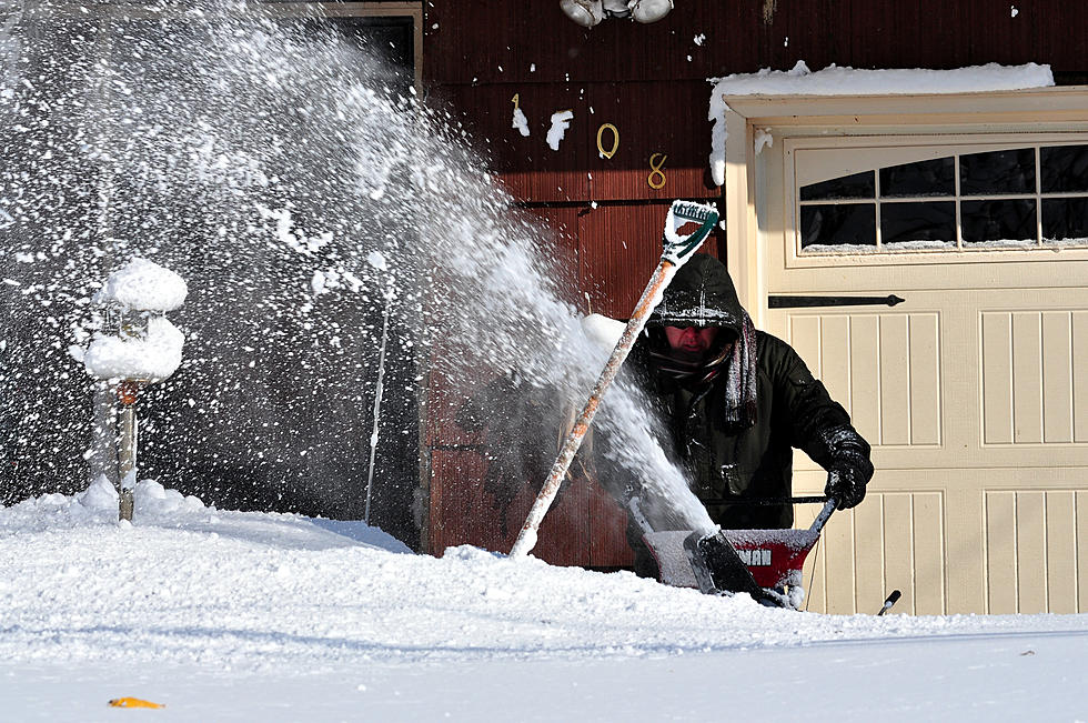
Along with the snow, there could be very windy conditions which will impact traffic. The National Weather Service is warning of a potential impact on travel due to the snow and wind. If you do need to travel, make sure you give yourself plenty of time to get to your destination.
On top of the snow, temperatures will drop this week as well. After spending last week in a deep chill, we had a little bit of a warmup this week but temperatures are set to drop back into the 20s again for much of the state this week.
Another arctic blast will keep the temperatures below normal for this time of year.
You can get the latest weather updates by clicking HERE.
5 Snowiest Days In New York State History
Gallery Credit: Dave fields
More From The New 96.1 WTSS