
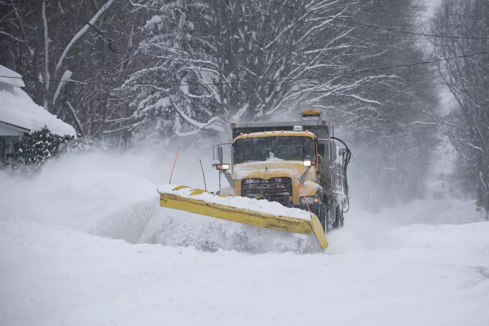
Heavy Lake Effect Snow Possible For Western New York
The cold and snow is here in Western New York.
The National Weather Service in Buffalo has issued a Lake Effect Snow Warning for much of Western New York.
The warning will be in place in Wyoming, Cattaraugus, and Erie counties until 10 am on Wednesday.
There could be snow totals between 10 and 20 inches of lake effect snow in the affected areas over the next 48 hours.
The heaviest snow is expected to come between Monday and Tuesday evening with possible narrow snowbands impacting travel in the region.
On top of the lake effect snow warning, there is also a Cold Weather advisory in place for the same areas from 4 pm this afternoon until 11 am on Wednesday. Temperatures are expected to slip into the single digits with wind chills in the negatives.
There is also a Winter Weather advisory in place for Niagara, Orleans, and Monroe counties in place until 10 pm tonight.
There is a chance of 4 to 8 inches of snow before the end of the day. Travel will be impacted by the snow, and the commute to and from work could be slower than normal.
READ MORE: MOST OF NEW YORK STATE IS UNDER SEVERE WEATHER ALERTS THIS WEEK.
The good news is the warmer weather is expected to return on Thursday as the Polar Vortex is expected to move north of Western New York over the weekend.
Check Out The Best Wing Deals In Western New York
Gallery Credit: Dave Fields
More From The New 96.1 WTSS


