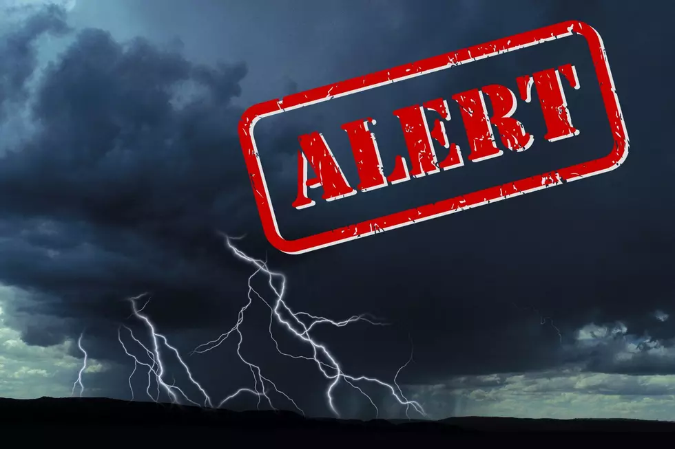
Damaging Thunderstorms Expected Across New York
It looks like our break from severe weather won't last too long.
By Wednesday most of New York will be under a slight or marginal risk for severe weather which will continue into the weekend.
READ MORE: CHECK OUT THE TOP 5 HOTTEST DAYS IN NEW YORK STATE HISTORY
Most of the Western part of New York will have a marginal risk of severe weather. Pop-up thunderstorms along with gusty winds could cause some damage.
READ MORE: CAREFUL DEER/CAR ACCIDENTS ARE ON THE RISE ACROSS NEW YORK STATE THIS MONTH BECAUSE OF THIS.
The elevated risk of severe weather is mainly in the Central part of New York. More severe thunderstorms are expected to roll through the area midweek causing some problems.
The hot and humid air is back and that will increase the chance of pop-up storms across the state. The good news is that most of the storms will be through the state by Sunday and heading into the 1st week of July we could see some very nice weather.
Feel Good Mornings With Dave Fields Mon-Fri 6am-10am
Well, it is still very early, it looks like Mother Nature will cooperate for the 4th of July. We are looking at clear skies which will make watching the fireworks much easier.

Do Not Shower During A Thunderstorm and Other Thunderstorm Safety Tips
Gallery Credit: James Rabe
New York State Hometowns With Most Rain After Once In Generation Storm
Tropical Storm Fred Floods Yards, Homes, Roads All Across Central New York
Gallery Credit: Credit - Polly McAdams
More From The New 96.1 WTSS