Cold Windy Weather On Tap For Western New York
While the ride into work and school will be much better across Western New York this morning compared to Thursday, there will still be some weather issues this morning.
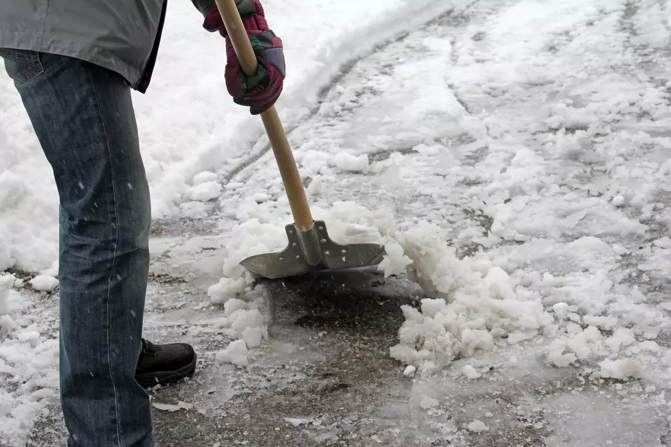
We could still see some light snow, but the biggest problem will be the cold temperatures and the wind. We could still see wind gusts up to 40 miles per hour and they could cause white out conditions with the blowing snow.
Most of the lake effect snow that we will get here in Western New York will be down in the Southern Tier. A lake effect snow warning remains in place for Chautauqua and Cattaraugus counties until Saturday morning at 4am.
There could be anywhere between 6 to 12 additional inches of snow in those area. The heavy snow will fall in relatively narrow bands which means if you are traveling, be
prepared for rapidly changing road conditions and visibilities.
Some big changes will be heading our way as we get into early next week. We will see the temperature get into the 40s which is more in line with the average temperatures than we have over the past couple of days. We are also expecting some periods of heavy rain as we kick off the next work week.
5 Snowiest Days In New York State History
Gallery Credit: Dave fields
More From The New 96.1 WTSS